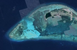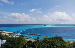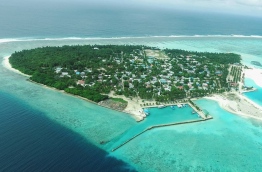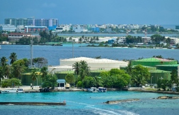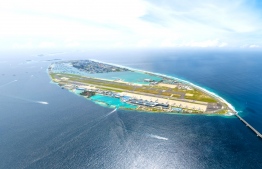

Copernicus Sentinel-3 mission released new satellite images depicting the 1200 islands that constitute Maldives.
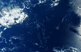
The aerial image was captured on March 29 with the ocean and colour instrument onboard the Copernicus Sentinel-3 mission which possesses a swath width of 1270 kilometres.
The Maldives is one of the most geographically dispersed countries in the world, with the archipelago’s islands scattered across 90,000 square kilometers of ocean. Maldives spans 820 Km from northernmost Thuraakunu (Haa Alif Atoll) to the southernmost Gan (Addu Atoll) and 130 Km from the furthest east at Fotteyo Muli (Vaavu Atoll) to the country’s western point which is known as Makundhoo or the atoll of Maamakunudhoo (administratively Haa Dhaalu Atoll).
Maldives' small coral islands, clustered in circular or oval reef structures, are clearly visible in the centre of the image. Huvadhu and Addu Atoll, located in the bottom of the image, are partially covered by clouds.
The European Space Agency stated that the considerably cloud-free image captured by Copernicus Sentinel-3 was notable as the archipelago is frequently covered by clouds. Additional cloud formations are visible elsewhere around the image.
The southernmost tip of mainland India, located approximately 700 km northeast from Maldives is also visible in the top right of the complete image captured by Copernicus Sentinel-3.
Copernicus Sentinel-6 Michael Freilich satellite is scheduled to launch on November 10 from the Vandenberg Air Force Base in the United States. It is the first of two identical satellites to be launched to provide accurate measurements of sea-level change.
The data collected by Sentinel-6 will facilitate further climate research and assist scientists to monitor the effects of climate change. Copernicus Sentinel-6 will conduct radar altimetry reference missions, continuing the long-term record of sea-surface height initiated in 1992 by the French-US Topex Poseidon and the Jason series of satellite missions.
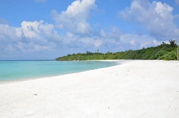
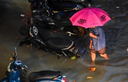
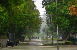
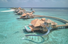
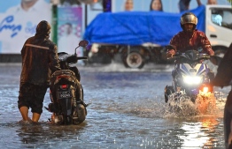
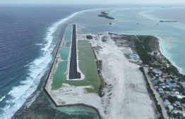
With more than 80 percent of Maldives' land area being less than one metre above mean sea level, the country is one of the lowest-lying nations in the world, leaving it vulnerable to sea swells, storm surges and other severe weather events influenced by sea level rise.
According to the Special Report on the Ocean and Cryosphere in a Changing Climate, the global mean sea level is likely to rise by approximately 1 metre by 2100, which would lead to the submersion of the majority of Maldives.