


The third Joint Hydrographic Survey by the Indian Navy and Maldives National Defense Force (MNDF) has conducted storm surge observations in several areas and made accurate estimates of future storm surges, according to a statement released by the Indian High Commission on Friday.
The Indian Naval Ship (INS) Investigator conducted the third round of the hydrographic survey of northern Maldives, including Haa Alifu and Haa Dhaalu atolls and the Gallandhoo Sea, located around the tip of the northernmost atoll, from January 19 to February 26 at the request of the Maldivian government.
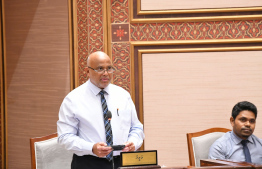
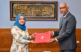
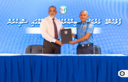
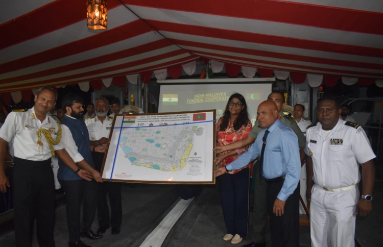
The survey was completed, and the four maps of the surveyed areas were handed over to Defense Minister Mariya Ahmed Didi at a special ceremony held onboard the vessel, INS Investigator.
The survey covered 6,308 kilometres of soundings on these atolls. The sounding lines surveyed 2,630 square kilometers, including an extensive survey of the entire Haa Dhaalu and Haa Alifu atolls.
The Indian High Commission said that the last map of the northernmost part of the Maldives was based on surveys done in 1934.Therefore, they were jointly conducted by Maldivian and Indian personnel using land, boat, helicopter, and shipborne operations.
"In addition to the number of helicopter sorties, boat sorties, 88-kilometer survey on foot, the INS Investigator used multibeam echo sounders for the survey in many areas. 52 new shoals were identified within the Ihavandhippolhu Atoll [Haa Alifu atoll] during the survey," the High Commission said.
The High Commission said the survey will increase vessels' navigation safety and promote the Maldives blue economy initiative. This will also allow for more updated navigation charts, and electronic charts to be created.
The commission also conducted tidal observations in Haa Dhaalu atoll Kulhudhiffushi, as well as Maarandhoo and Hoarafushi in Haa Alifu atoll. Therefore, accurate tidal predictions will be made in the future.
"New benchmarks have also been established in Kulhudhuffushi, Maarandhoo, and Hoarafushi to facilitate accurate tidal readings and forecasts," the High Commission said.
The survey will facilitate the creation of two large and medium charts, including Haa Alifu and Haa Dhaalu atolls.
The High Commission said the survey was conducted as part of India's policy of cooperation with the Maldives in establishing hydrographic facilities within the MNDF and enhancing the country's own hydrographic capabilities.
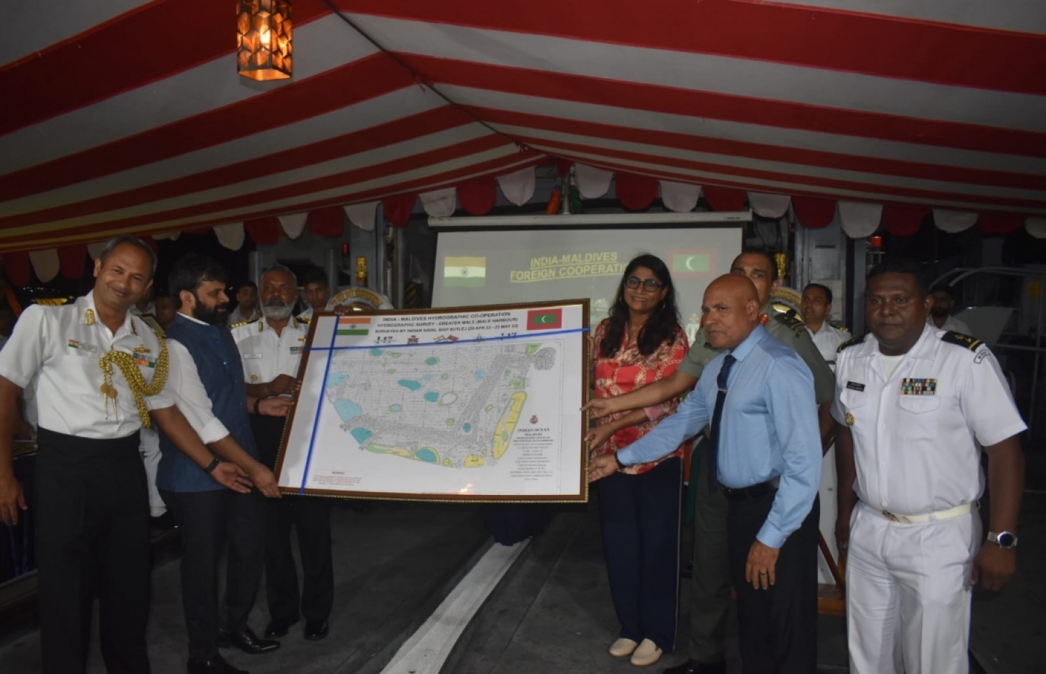
Defence Minister Mariya Ahmed Didi and Chief of Defence Force Abdullah Shamaal with Indian naval officers, at the ceremony held onboard INS Investigator to hand over charts. Photo: Indian High Commission